The Australian Bureau of Statistics (ABS) provides spatial data covering a wide range of statistical, temporal, and spatial data, including geospatial:
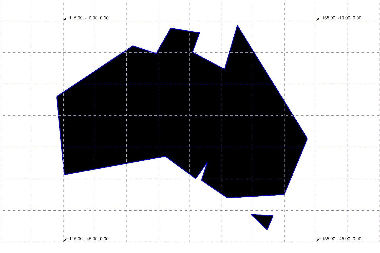
Nudel recently downloaded the Australia - 2021 - Shapefile and imported this into QGIS to convert to a 3-dimensional view of Australia

The shape file was then exported from QGIS as a DXF file and imported into Rhino, with a Lat\Long grid overlaid

A Grasshopper script was used to simplify the outline curve and export the points to a coordinate table in Excel - these curves were then rebuilt in Rhino, representing various levels of abstraction
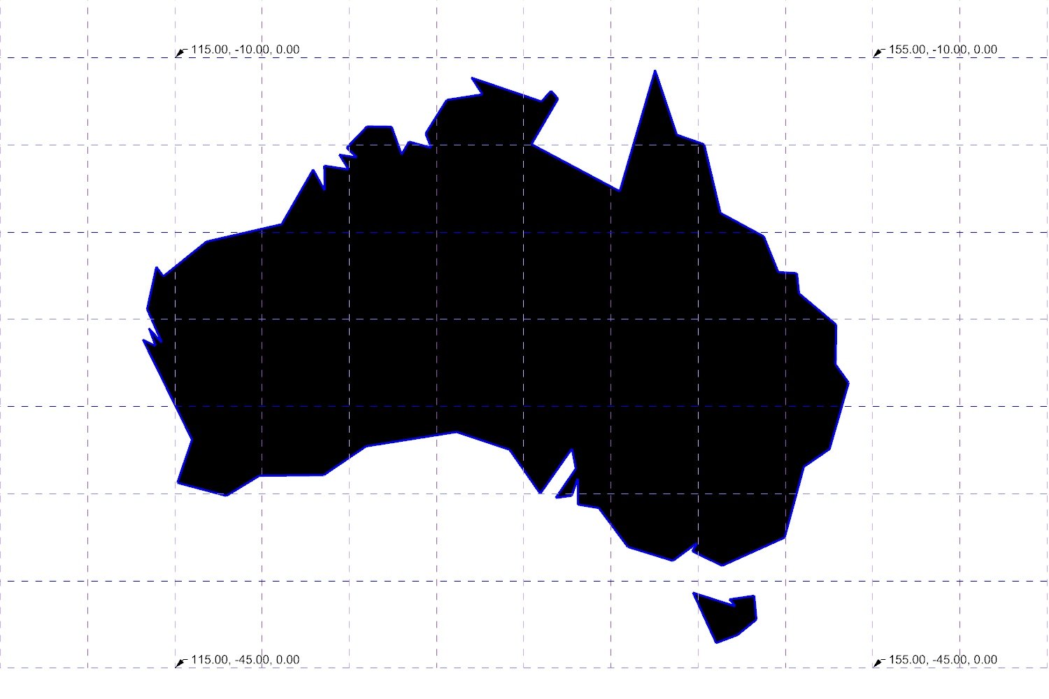
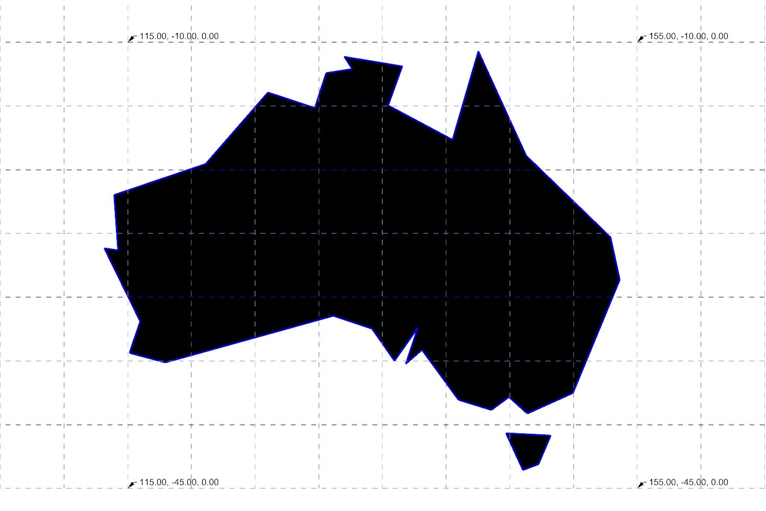

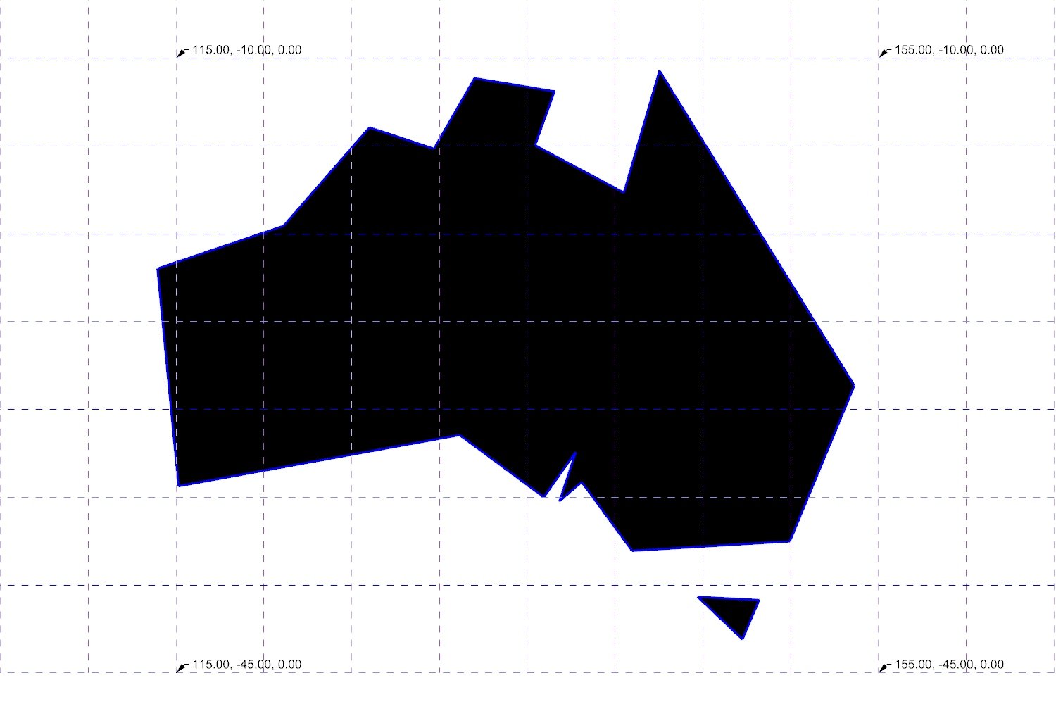
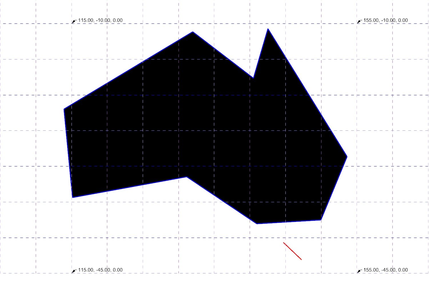
The abstracted dataset comprising 65 Lat\Long pairs was then reconstructed on the sphere using polar coordinate conversion in Grasshopper

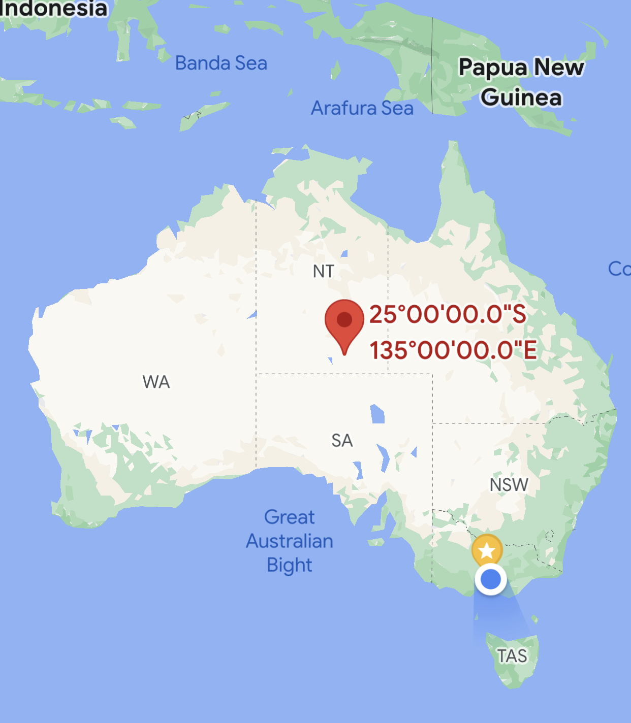
This geodesic outline can then be projected to the plane from the approximate centroid of the Australian continent (at Lat -25 / Long 135) to get a minimally distorted projection